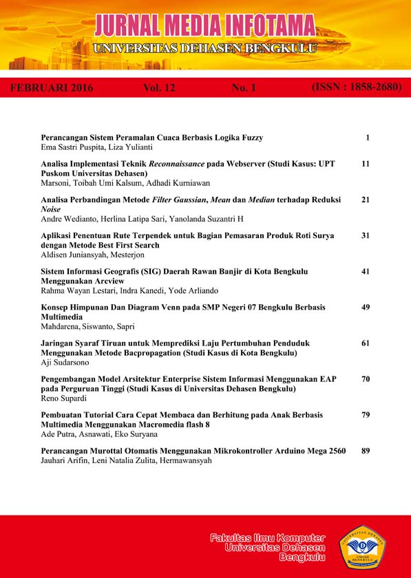
SISTEM INFORMASI GEOGRAFIS (SIG) DAERAH RAWAN BANJIR DI KOTA BENGKULU MENGGUNAKAN ARCVIEW
Abstract
The purpose of this research is to create a geographic information system Bengkulu city flood-prone areas using ArcView. Apply the knowledge obtained during the lecture, especially relating to the development of Geographic Information Systems. To be able to produce a system that is accurate and useful information for the community. Where the research was conducted in the city of Bengkulu BASARNAS. Bengkulu BASARNAS office specializing in Search and Rescue (SAR), is the body that manage the flood of data that is still done manually, using Microsoft Word and Microsoft Excel. Thus experiencing problems in delivering information directly to the office because the SAR agencies require a long time.
Keywords: Geographic Information System, Flood Prone Area
Downloads
An author who publishes in Jurnal Media Infotama agrees to the following terms:The author holds the copyright and grants the journal the right of first publication of the work simultaneously licensed under the Creative Commons Attribution-Share Alike 4.0 License which allows others to share the work with acknowledgment of the work's authorship and initial publication in this journal.Submission of a manuscript implies that the submitted work has not been previously published (except as part of a thesis or report, or abstract); that it is not being considered for publication elsewhere; that its publication has been approved by all co-authors. If and when a manuscript is accepted for publication, the author retains the copyright and retains the publishing rights without limitation.
For new inventions, authors are advised to administer the patent before publication. The license type is CC-BY-SA 4.0.
MEDIA INFORMATION REVIEW: Journal of the Faculty of Computer Science is licensed under a Creative Commons Attribution-ShareAlike 4.0 International License.You are free to:Share
— copy and redistribute material in any medium or formatAdapt
— remix, modify and develop materialfor any purpose, even commercial.
The licensor cannot revoke this freedom as long as you follow the license terms


.png)


